
Drone Services
Aerial Imagery That Changes Perspective.
CAA-registered drone operations delivering stunning aerial photography and 4K video for construction, property, leisure and commercial clients.
Why MSP Momenta
Professional drone operations. Every time.
Every MSP Momenta drone operation is fully planned, risk-assessed and executed by a CAA-registered operator with £5 million public liability insurance. We cover South Wales and the wider UK, working across construction, property, leisure and commercial sectors to deliver imagery that informs, markets and inspires.
Aircraft
DJI Mini 5 Pro
Stills
48 Megapixel
Video
4K / 60fps HDR
Insurance
£5M Public Liability
Operator
CAA Registered
Delivery
Within 48 Hours
What We Cover
Six sectors. One operator.
01
Construction Progress Surveys
Regular aerial surveys documenting your project from groundworks to completion. Consistent angles, consistent quality — every visit planned and risk-assessed.
Monthly or milestone-based scheduling

02
Roof & Building Inspections
Safe, efficient aerial inspection of roofs, facades and hard-to-reach structures. High-resolution imagery delivered without scaffolding or access equipment.
48MP stills — no scaffolding required

03
Marketing Videos
Cinematic 4K aerial video for property marketing, corporate communications, social media and award submissions. Edited and delivered ready to publish.
4K/60fps HDR — edit-ready delivery

04
Golf Courses & Leisure
Showcase your course, clubhouse and grounds from above. Stunning aerial imagery for marketing, website content and member communications.
Ideal for course guides and social content

05
Estates & Country Properties
Capture the full scale and beauty of private estates, country houses and rural properties. Perfect for sales, lettings, events and heritage documentation.
Discreet, professional, fully insured

06
Commercial Property
Aerial photography and video for industrial facilities, retail parks, office developments and mixed-use schemes. Context, scale and impact in every frame.
Supports planning, marketing and PR
Featured Project
Garw Lake
Site Progress.
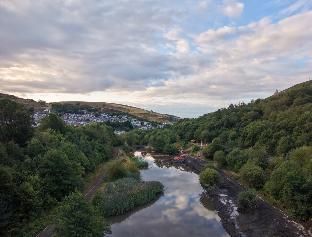
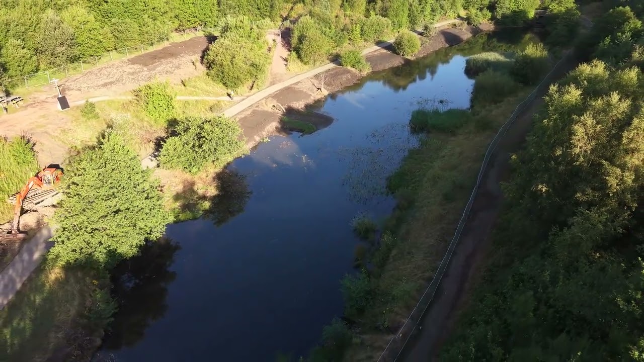
Aerial progress monitoring of the Garw Lake remediation project — capturing pre-works condition, active dredging operations, and site-wide context to provide a clear visual record for stakeholders and project teams.
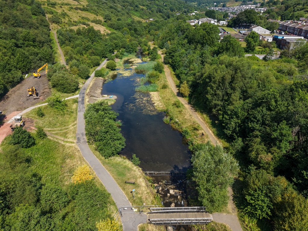
Garw Lake — Pre-Works Condition Survey
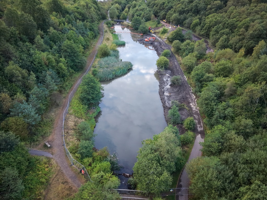
Dredging Operations Underway
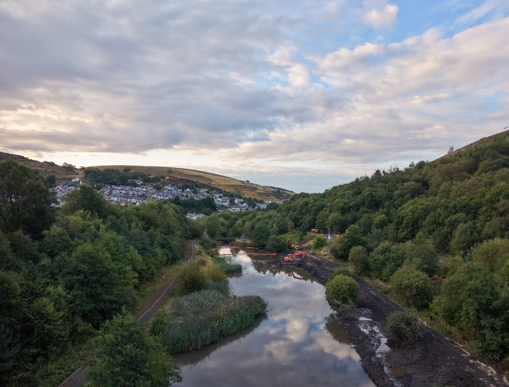
Valley Context — Works in Progress
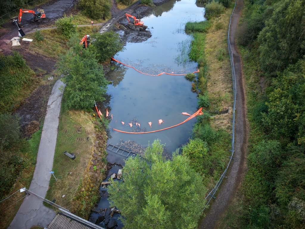
Containment Boom Installation
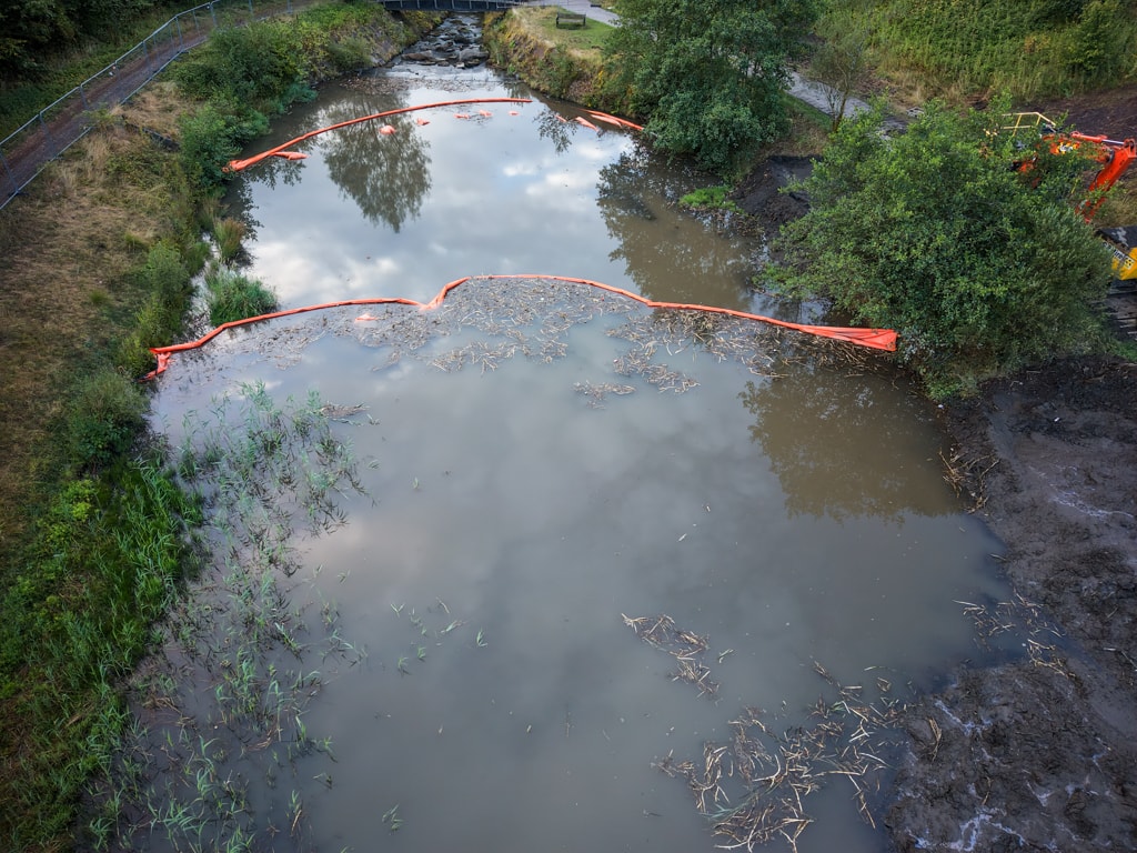
Boom Operations — Downstream View
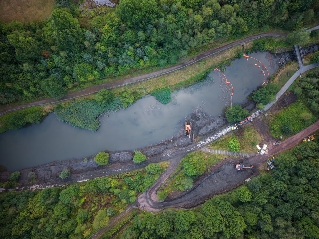
Garw Lake — Overhead Site Overview
Example documentation
See how your progress imagery is presented.
This Cardiff Road FAS progress image pack shows the clear, structured documentation supplied alongside a drone survey — ready to share with project teams, clients and stakeholders.
Document Ref
MSP-BTL-DRN-01
Prepared By
Matt Spear
Drone Operator / Survey Pilot
Document 1
Drone Progress Survey Guide
- →9-waypoint flight plan with map overlay
- →DJI Mini 5 Pro waypoint table (height, speed, gimbal, heading)
- →Camera storyboard — inward-facing oblique shots
- →Camera settings: 4K 50fps, D-Log M, ND16/32
- →Safety considerations & emergency procedures
- →Est. flight time: 15–20 mins
Document 2
Waypoint Photo Summary
- →WP1–WP8: oblique boundary shots + WP9 nadir
- →Each image captioned with angle & direction
- →Consistent monthly comparison format
- →Branded MSP Momenta report layout
- →Suitable for stakeholder & client reporting
- →Social media and progress documentation ready
Document 3
Safety & Operations Manual
- →Full risk assessment — HIGH/MEDIUM/LOW matrix
- →Standard operating & emergency procedures
- →Aircraft spec: DJI Mini 5 Pro, 48MP, 4K/60fps HDR
- →£5M public liability insurance declaration
- →CAA Drone Code (UK) CAP 722 compliance
- →Signed declaration by Matt Spear, Drone Operator
Cardiff Road FAS Progress Images
Sample progress image report · 3 September 2026
Download the example report9
Waypoints
15–20 mins
Est. Flight Time
55 m AGL
Survey Altitude
48 hrs
Delivery Turnaround
Featured Project
Coed Y Mwstwr
Golf Club.
Aerial drone photography capturing the full extent of the course, fairways and clubhouse facilities — ideal for marketing, course guides and member communications.
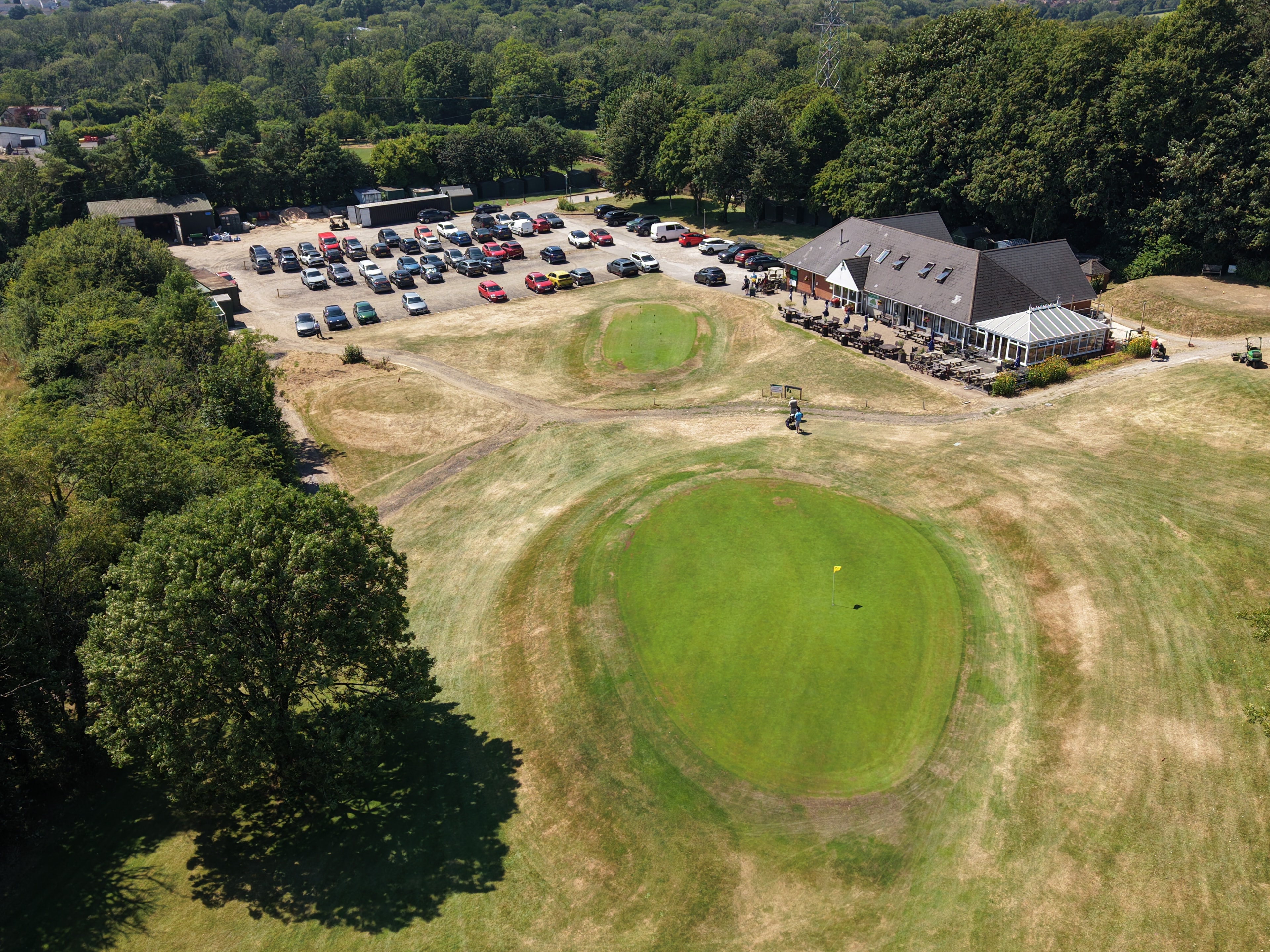
18th Green & Clubhouse
Course Overview — Aerial Perspective
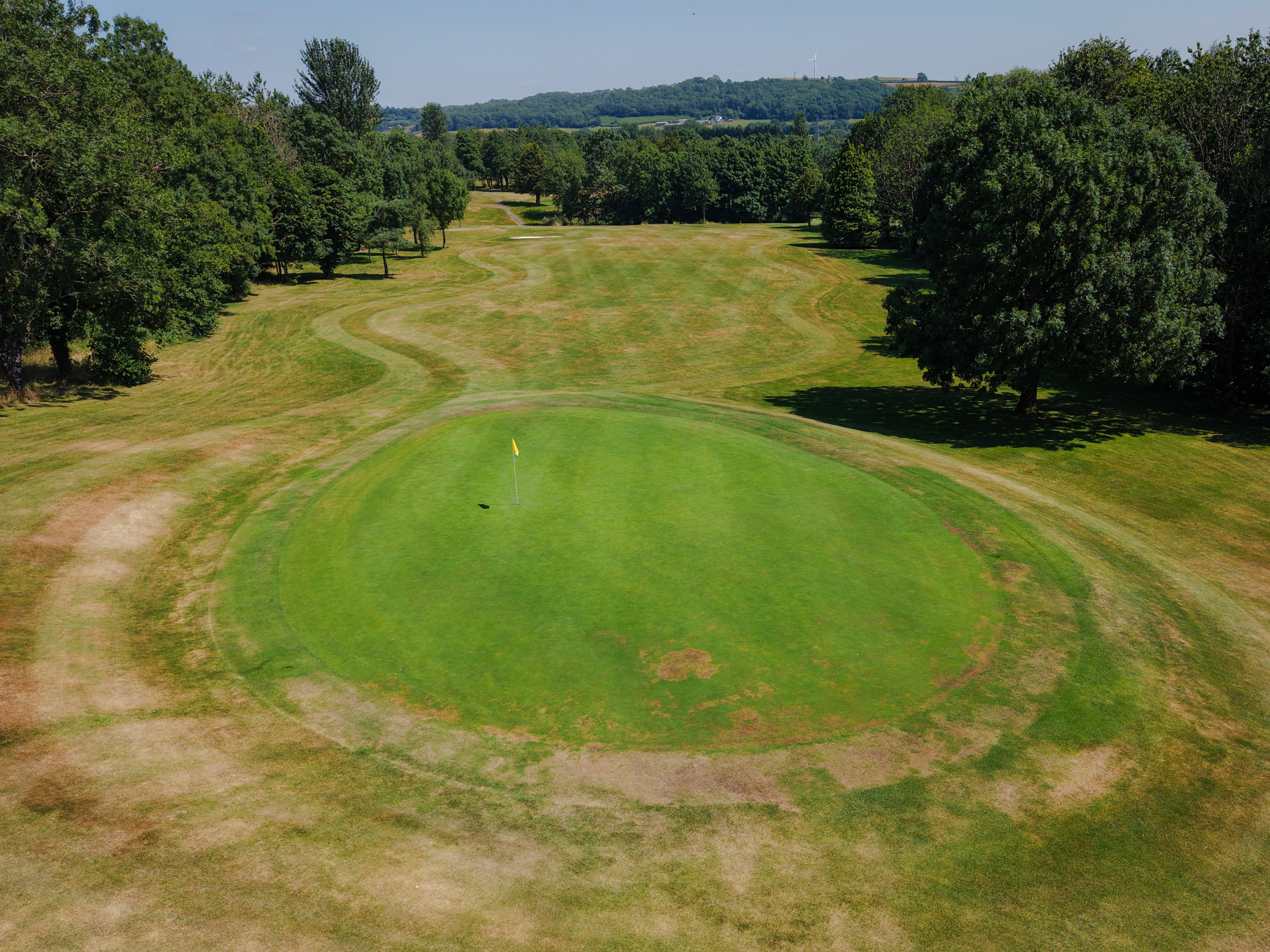
18th Fairway
Looking Back Down the Fairway
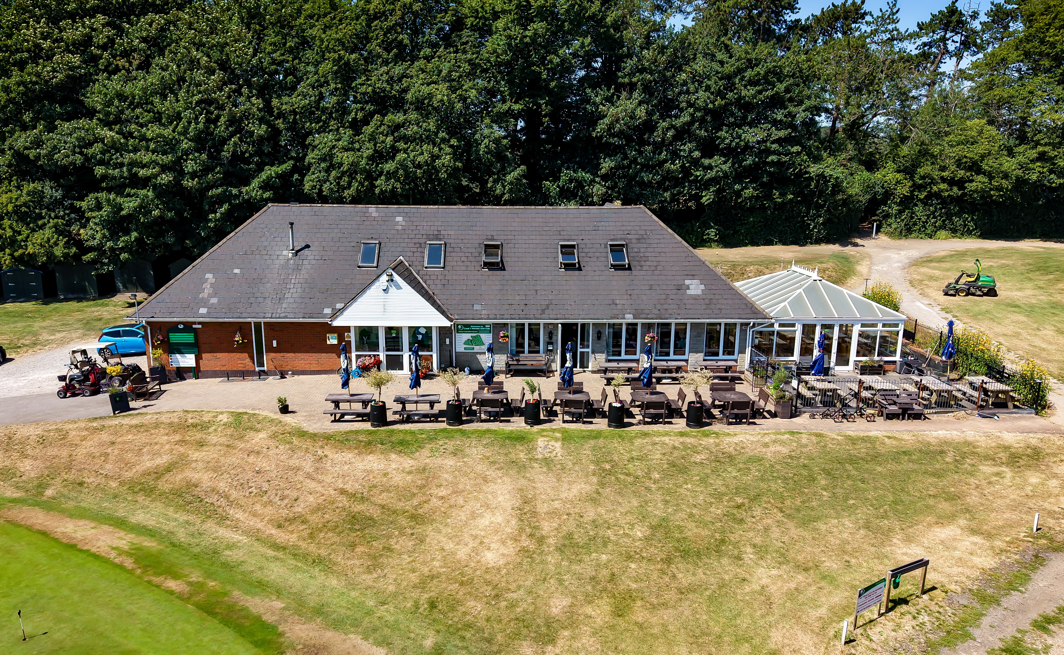
Clubhouse & Terrace
Facilities from Above
Get Started
Ready to see your project from above?
Get in touch to discuss your requirements. We cover South Wales and the wider UK — fully insured, CAA registered and ready to fly.